

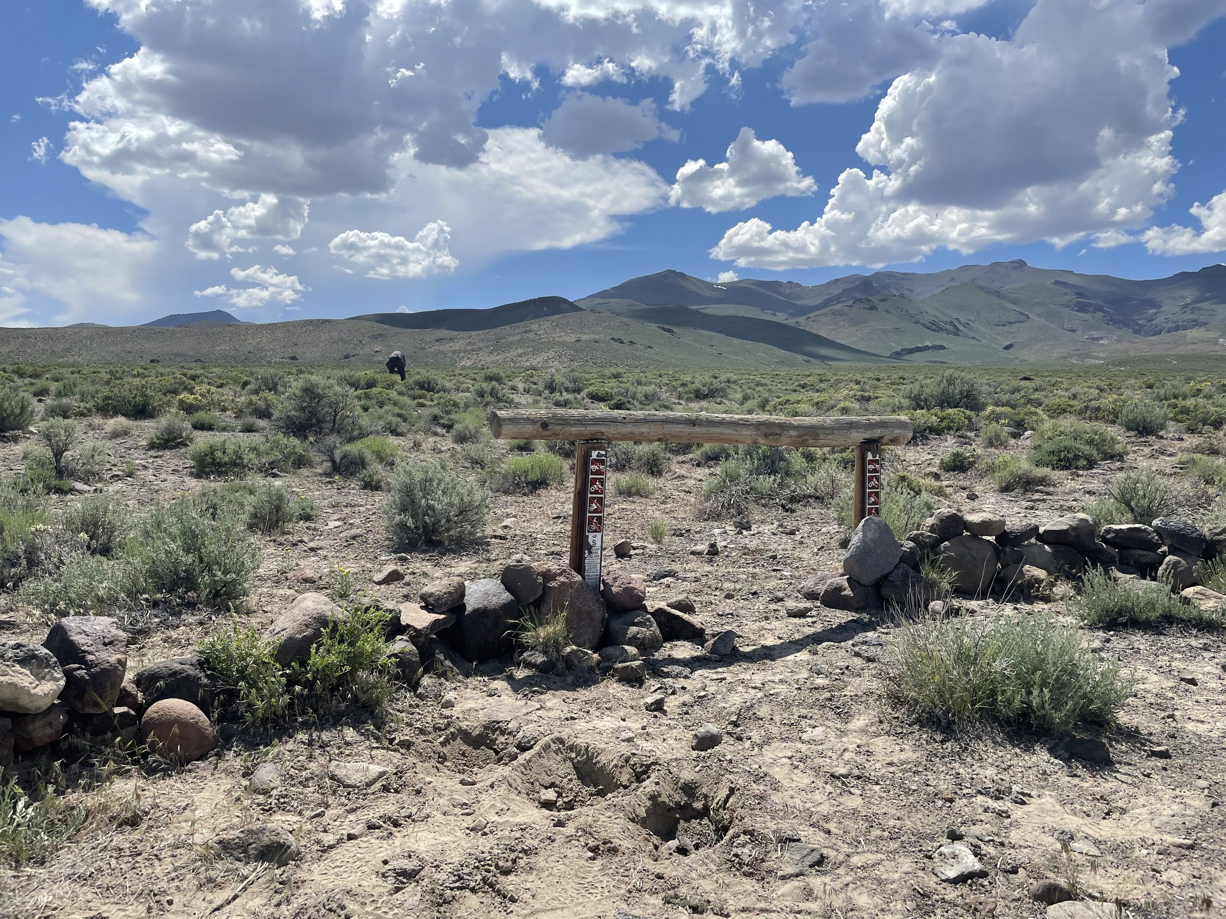
Black Rock Country is one of the more remote areas in the nation, with limited services and cell-coverage. Combine this with the ruggedness of it’s landscape, and the potential for an emergency-type situation becomes a very real possibility.
To counter this, we ask all visitors to consider their own self-reliance and take the necessary precautions to keep yourself safe. Packing plenty of supplies such as water, food, and sunscreen is vital to your enjoyment of this area, as is letting others know of your whereabouts.
For additional information and resources to better prepare you for your visit, continue reading.
Friends of Black Rock-High Rock Visitor Center
Located at: 320 Main Street Gerlach, NV 89412
We provide year-round travel and weather information including playa conditions at our visitor center in Gerlach, Nevada. The visitor center has free maps and brochures to inform the public about the National Conservation Area and prepare them for the remote experience that awaits. We operate with a very small but mighty staff! You may see us when driving by, we have some items in stock, lots of maps, and would be happy to help you.
For more information, you can also reach out to us at info@blackrockdesert.org or call us at 775-625-7848.
BLM Black Rock Station Visitor Contact Center
The Bureau of Land Management’s (BLM) Black Rock Station visitor contact center is open April – October. The Station is just west of Gerlach, Nev., at the entrance to Black Rock Desert-High Rock Canyon Emigrant Trails National Conservation Area (NCA).
The regular operating hours are Thursday – Monday 9 a.m. to 5 p.m. as staffing allows; the station is closed Tuesdays and Wednesdays.
“The Black Rock Desert is a remote and primitive area,” said Gene Seidlitz, Winnemuca District Manager. “The Station is an important stopping off place for visitors to get information that will help them understand and enjoy the area, as well as to become aware of important safety and survival tips.”
Visitors to the Black Rock Station will have the opportunity to learn about this beautiful area through interpretive panels and maps. Important safety information, as well as information of the cultural and natural resources in the area including wildlife, plants, wilderness, and recreational opportunities are also available.
The facility will be open through the end of October and will be staffed by BLM personnel. The Station also houses a fire engine bay, barracks, warehouse/shop, and small administrative office. A BLM fire crew will operate out of the facility from July to August.
For additional information regarding recreational opportunities and visiting the Black Rock area, contact the center at (775) 557-2503.
Dangers: Mines and Hot Springs
Two of the biggest hazards in the NCA are abandoned mines and hot springs. The BLM does not manage hot springs or mines for recreational use. Use extreme caution – people and pets have been severely injured or killed. Stay out and stay alive!
Double Hot Springs
Use extreme caution around this spring – its pools are approximately 180 degrees! For some distance, the water in the streams carrying runoff from Double Hot Springs is almost as hot.
In addition, the banks of the springs are very steep and slippery. If you fall into Double Hot Springs, you cannot get out in time to avoid serious injury. People have died after falling into Double Hot Springs.
Do not dip your hand or put your foot into the springs to test the temperature. Be extremely careful when walking on the paths around Double Hot Springs.
Keep your dog on a leash and your children close around Double Hot Springs. Dogs will jump in and almost always die when they do. Dogs have scalded their tongues by drinking from the streams and have burned their feet when crossing the streams around Double Hot Springs.
Other Hot Springs
Other hot springs in the area are not as hot as Double Hot Springs, but the temperature of most hot springs can still vary greatly.
Always test the temperature of a hot spring before getting in – except Double Hot Springs. As indicated above, do not even test the temperature of Double Hot Springs.
As with Double Hot Springs, always be mindful of slippery banks around hot springs and monitor pets and children.
No camping within 300 feet of any water source.
Abandoned Mines
Abandoned mines are dangerous. Some of the potential hazards are old, unstable explosives, poisonous gases, rattlesnakes, unseen vertical shafts and cave-ins.
Groups and Permits
Special Recreation Permits
Black Rock-High Rock Country is a popular venue for a variety of organized recreation activities. The Bureau of Land Management uses Special Recreation Permits (SRP) to authorize and manage various uses and activities on public lands. Permitting allows BLM to monitor potential impacts to natural or cultural resources, and/or conflicts with other recreation or commercial users.
Special Recreation Permits are required when an activity falls into one of the following categories:
Commercial Uses – this is defined as recreational use of public lands and related waters for business or financial gain. When any person, group, or organization makes or attempts to make a profit, receive money, amortize equipment, or obtain goods or services, as compensation from participants in recreational activities occurring on public lands, the use is considered commercial.
Examples in the NCA: The annual Burning Man festival, several hunting outfitters and guides, jeep tours (4-wheel drive), equestrian tours and wagon train rides, cattle drives, and filming or photography for profit associated with a recreational or commercial activity.
Competitive Uses – this means any organized, sanctioned, or structured use, event, or activity on public land in which two or more contestants compete and either (1) participants register, enter, or complete an application for the event, or (2) a predetermined course or area is designated.
Examples in the NCA: Unique activities such as rocket launching and land sailing. The world land speed record and the amateur altitude record were authorized under a competitive SRP.
Organized Group Activities and Event Uses – this type of permit is for non-commercial and non-competitive group activities and recreation events. Special Recreation Permits are required for any organized group that have the potential to create impacts on public land.
Examples: A large scout camp out, a fraternity activity, a large family reunion, or a dual sport event. Examples: OHV races, horse endurance rides, mountain bike races, rodeos.
Vending – this type of permit can be temporary, short-term, non-exclusive, or a revocable authorization to sell goods or services on public lands in conjunction with a recreation activity.
Gateway Communities
The only paved highways to Gerlach and the Black Rock Desert connect from Cedarville, CA in the west (HWY 447), and Fernley, NV in the south (the I-80). Entrance roads surrounding the area can be reached from the I-80, Winnemucca, Imlay and Lovelock, and are unpaved. Roads in from U.S. 95 and NV 140 in the north east are also unpaved. Inquire locally before attempting to drive on any unpaved roads in the area. The only fully paved highway extending through the area is Highway 447, inquire locally or check with different versions of maps to get an idea of your travel before heading out!
Call ahead to be sure a business or area is open to visitors at this time.
Gerlach
Gerlach is the closest town and the southern entrance to the Black Rock Desert. It was established in 1906. Three years later the Western Pacific Railroad built a major train depot and a large roundhouse here. The only vestiges remaining of early railroading are a large wooden water tower near the town center, which is listed on the National Register of Historic Places.
A kiosk near the water tower provides area information.
Services: Gas, tow service, mechanic, food, lodging, visitor information.
Bruno’s Motel / Country Club Restaurant / Gas
775-557-2220
Motel on the main strip in town. 40 rooms.
Kitchenettes & apartments available, RV parking, casino and restaurants.
Wireless internet. No phones. Restaurant open 10a – 8p. Famous for Bruno’s ravioli, hand-made like momma made 60+ years ago.The Old Iveson Ranch
775-557-2804
Working ranch located at the pavement-end North of Gerlach. Cabin rentals, room rentals, camping, RV storage, bathhouse set at the base of the Granite Range and near Public Wilderness Areas. Phones and wireless internet. Motorcycles, ATV’s and Horses Welcome. Open year-round. www.IvesonRanch.comPlanet X – Call for Lodging options call for details
775-442-1919
Planet X Pottery was established in 1974 at the foot of Granite Mountain between the Smoke Creek & Black Rock deserts of Northern Nevada.
We are trying to survive after the shutdown caused by the Coronavirus and we are now OPEN. Please come prepared with a mask. We have a hand washing sink available for before & after you shop. https://www.planetxpottery.net/
8100 Hwy 447 PO Box 4 Gerlach, NV 89412Soldier Meadows Ranch – Closed to public.
Empire
Just south of Gerlach lies Empire. Established in 1922 as a company town for the pacific Portland Cement Company, which mines gypsum in the nearby mountains. Finished gypsum products were produced and shipped to Gerlach on the shortest operating railroad in Nevada. USG idled the plant in January 2011; it now sits empty, the town evacuated.
Services: gas; mini-storage
Empire Distributing – Closed.
Black Rock Mini-Storage
775-557-2608
General Warehouse/Storage in Empire, NV
Fernley & Reno/Sparks
Drive east on 1-80 from Reno/Sparks 30 miles to Fernley, the southern gateway to the NCA. Fernley is a growing community offering the most complete services within 100 miles. From Fernley, drive north on NV 447 for 70 miles. The route passes through the Pyramid Lake Indian Reservation communities of Wadsworth and Nixon.
Services: Gas, food, lodging, groceries, medical services
Winnemucca
From U.S. 95 just north of I-80 turn west on the Jungo Road. Drive west for two miles where the pavement ends and continue west on the unpaved Jungo Road for another 96 miles to the junction of NV 447, just north of Empire. Turn left and continue north for three miles to Gerlach. The BLM Winnemucca Field office is also located here at 5100 East Winnemucca Blvd. 775-623-1500.
Services: Gas, food, lodging, medical services, groceries
Lovelock
Drive north from 1-80 on NV 399 for 17 miles to where the pavement ends. Continue north on Seven Troughs Road for 50 miles to the abandoned mining site of Sulphur on the Jungo Road. Continue west on Jungo Road (unpaved and sometimes rocky in places) for 41 miles to the junction of NV 447 just north of Empire. Turn left and continue three miles to Gerlach.
Services: Gas, food, lodging, groceries, emergency medical services
Imlay
Drive northwest from I-80 by the north end of Rye Patch Reservoir for about 10 miles to enter the NCA at the southeast end of the Emigrant Trail corridor.
Cedarville
The western gateway to the High Rock region of the NCA is situated near the Warner Mountains and Surprise Valley, approximately 100 miles north of Gerlach. To enter the High Rock area from here, head east from Cedarville on 299E. The paved road ends at the Nevada border and becomes Nevada 8A. Follow 8A about 21 miles to the junction of 8A and Route 34. Continue about 1 mile and turn east (right) on 8A. The NCA boundary is within a few miles of the junction.
To reach the Black Rock Desert and Gerlach from Cedarville, head south on Main Street and follow State Route 447 about 83 miles to Gerlach. For more information, visit the BLM Surprise Valley Field office at 602 Main Street, in Cedarville. 530.279.6101.
Services: Gas, food, lodging, groceries, emergency medical services, airport
Surprise Valley Chamber of Commerce
LODGING:
Cockrell Ranch – High Desert Lodging
7 miles north or past Eagleville on County Road 31
1-888-279-2209
highdesertlodging.comSurprise Valley Hot Springs
For 21 years of age or older.
PO BOX 509 96104
67254 Hwy 299 East
Call: 530-279-2040
https://www.svhotsprings.com/rates.htmlLINKS:
Modoc Forum: modocforum.org
Modoc Independent News: www.modocindependent.com
Nevada 140 (Denio/Vya)
From this paved highway northeast of Winnemucca, connecting to Denio with U.S. 95 there are several unpaved and unmarked routes leading to the NCA. Local inquiries should be made as to routes and road conditions before attempting any of these drives.
Note: although Vya appears to be a town on maps, there is no gas station, and almost no services.
LODGING:
Old Yella Dog Ranch and Cattle Co.
Rte 8A, Vya, NV
775-267-2930
One cabin is available, as well as some RV hookups and tent camping. The roads are not paved and this is a very remote location.
Services in Denio: food, gas, lodging
Support Local Businesses! Here is a list of some places to visit/things to do in the area:
Landmarks at mile markers:
Numana Paiute Tribal Fish Hatchery
The Lahontan cutthroats of Pyramid and Walker Lakes are of considerable importance to the Paiute tribe. These trout, as well as cui-ui, a sucker found only in Pyramid Lake, were dietary mainstays and were used by other tribes in the area. The Lahontan fishery program emphasizes the connection of fishery management with the health of the lake and riverine habitats upon which species depend.
Visit a section of historic trails from the greatest mass migration in American history during the 1840s and 1850s when over 250,000 emigrants traveled to the goldfields and rich farmlands of California. Great for hiking and biking!
In 2013 researchers determined that humans created the petroglyphs at Winnemucca Lake between 14,800 to 10,500 years ago making them the oldest known petroglyphs in North America.
Be sure to check out Snoopy Rock, which is a Snoopy face painted on a limestone tufa tower.
This trail follows the entire length of the Truckee River and is great for hikers and cyclists.
Derby Dam is a diversion dam on the Truckee River, located between Reno and Fernley in Storey and Washoe counties in the U.S. state of Nevada. It diverts water that would otherwise feed Pyramid Lake into the Carson River watershed for irrigation use.
Pyramid Lake Paiute Reservation
The area of the reservation contains 475,000 acres and Pyramid lake is the largest remnant of ancient Lake Lahontan.
Pyramid Lake Museum and Visitors Center
Pyramid Lake Paiute Reservation visitors can stop by the museum to see exhibits on the tribe’s culture and history.
Staff favorite: As Long As the River Shall Run: An Ethnohistory of Pyramid Lake Indian Reservation
A great link to see what you can do in town!
Gerlach locals’ favorite! A 1-mile long road parallel to highway 34 with funky art installations made by local artist, DeWayne “Doobie” Williams.
Pottery gallery and store featuring beautiful and unique pottery made by local artists, John & Rachel Bogard.
Excellent hiking area with a great view of the playa. Also, this is a historic murder site of a territorial debacle in 1865.